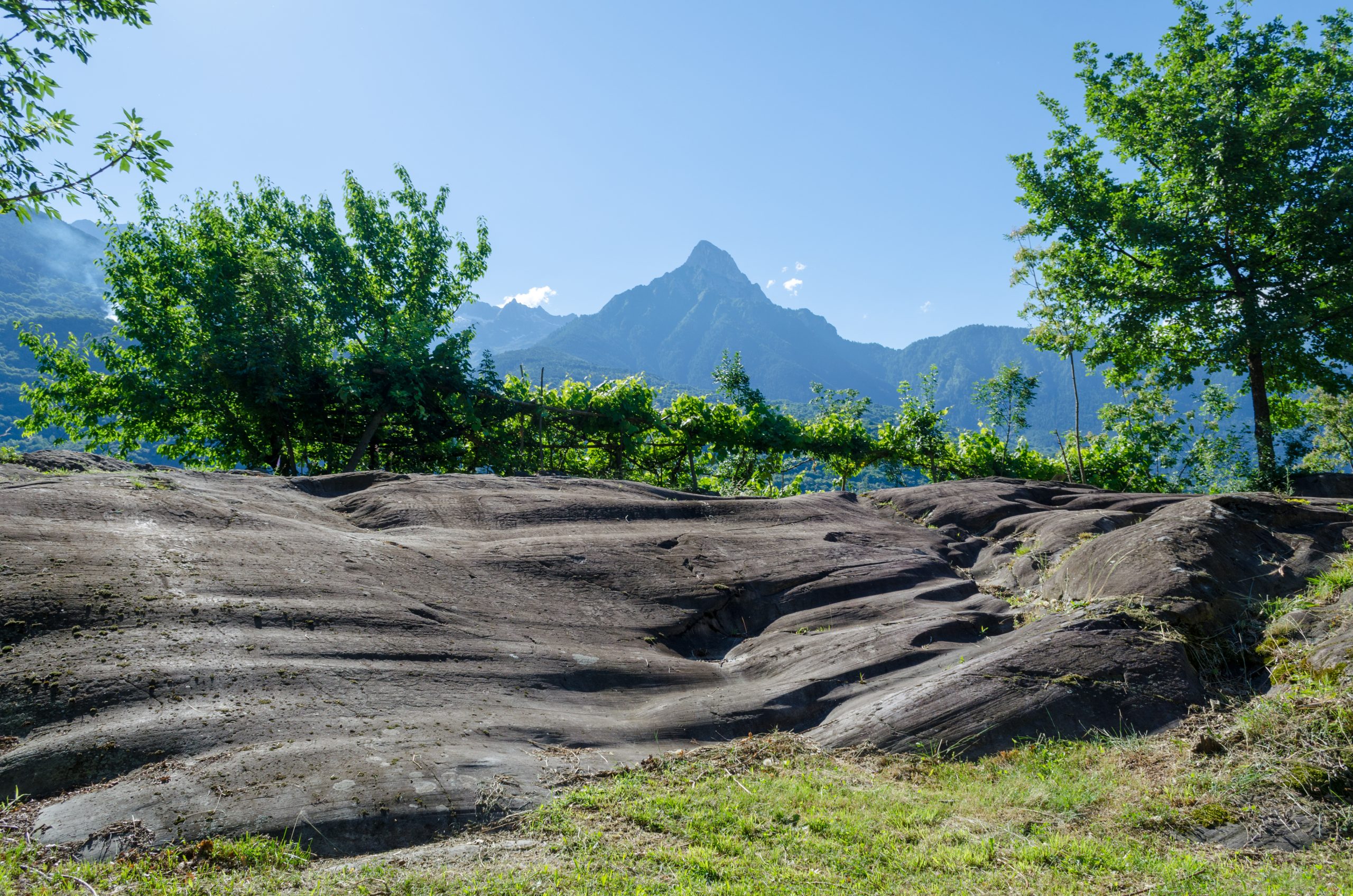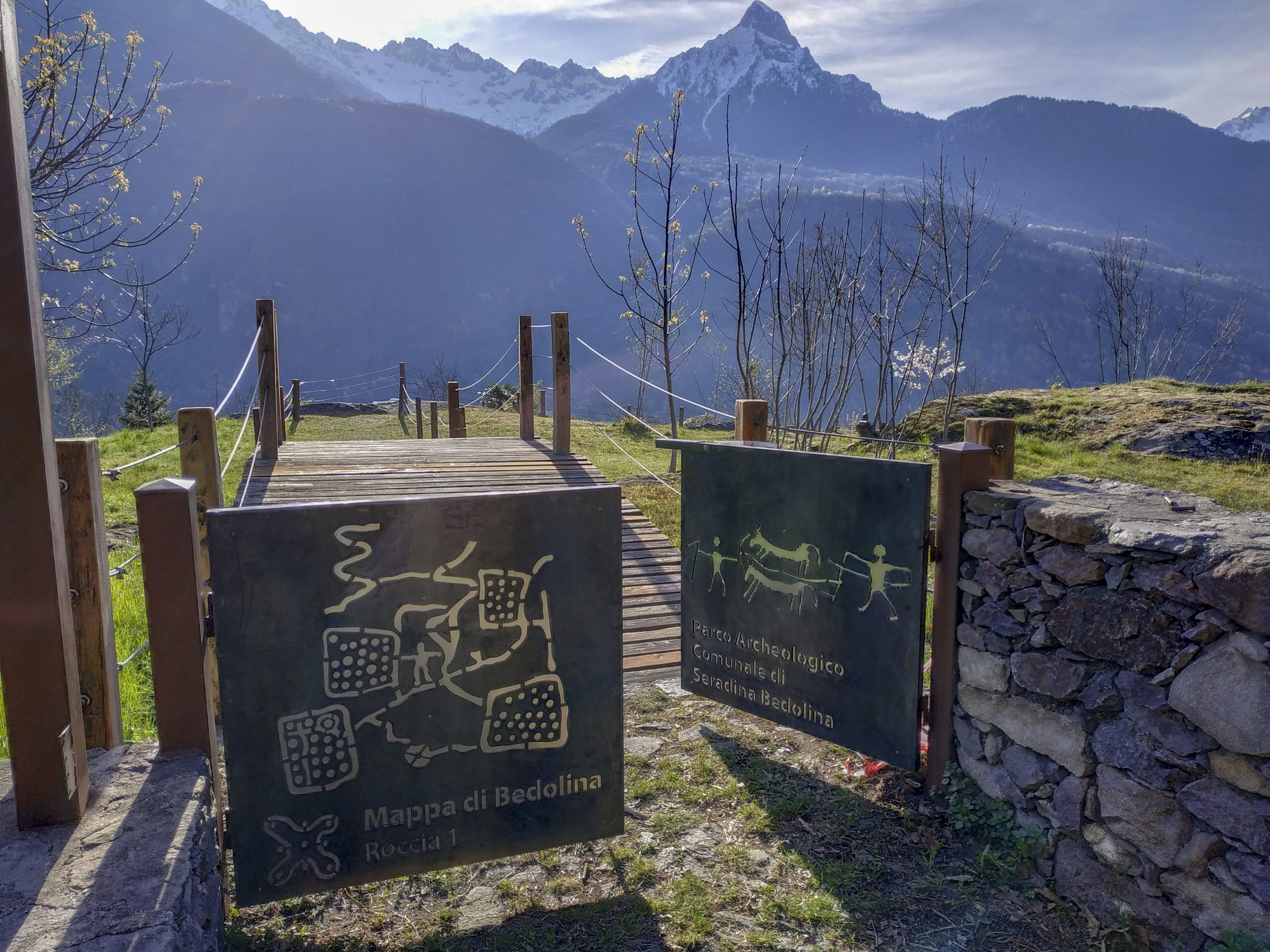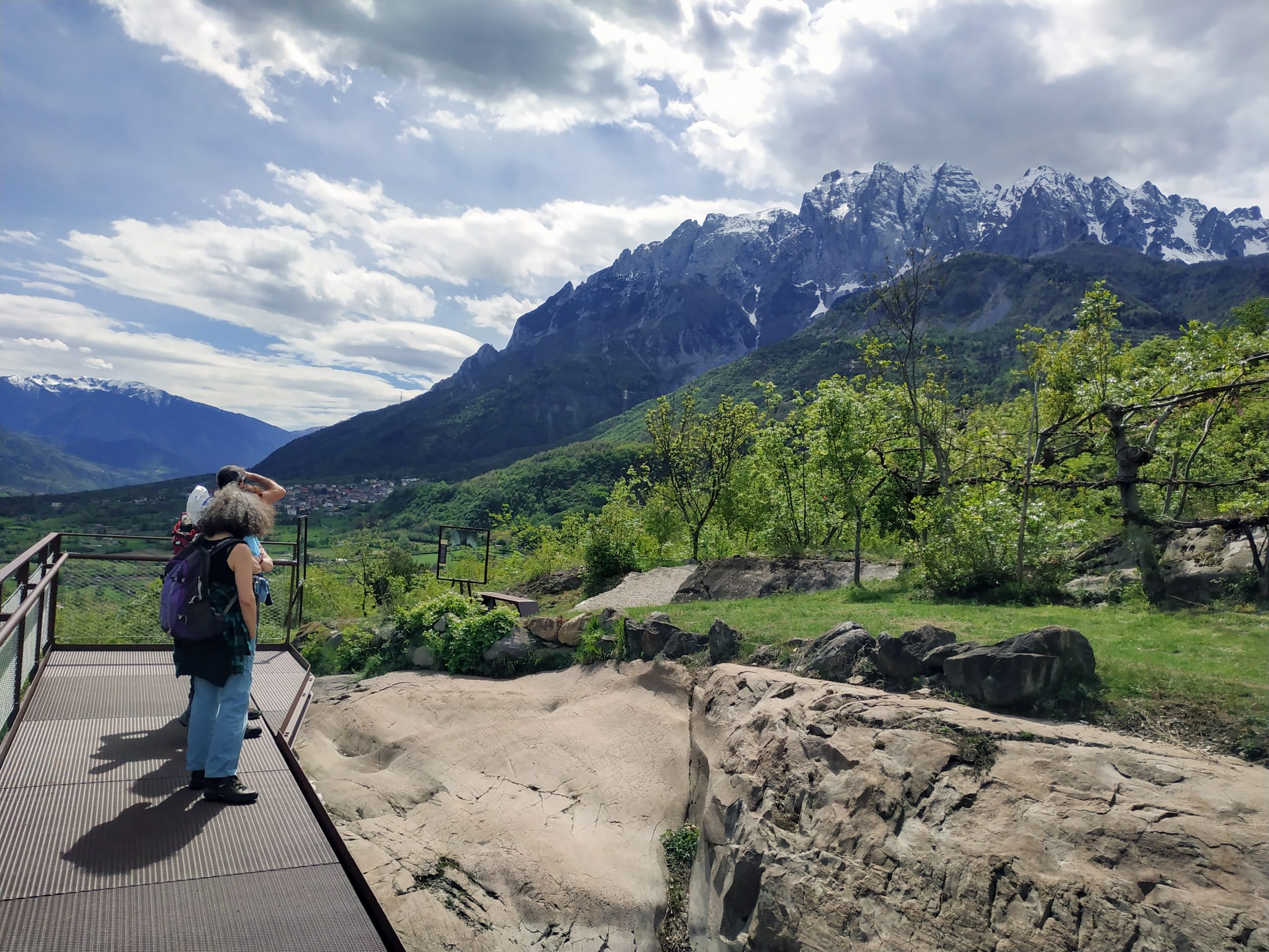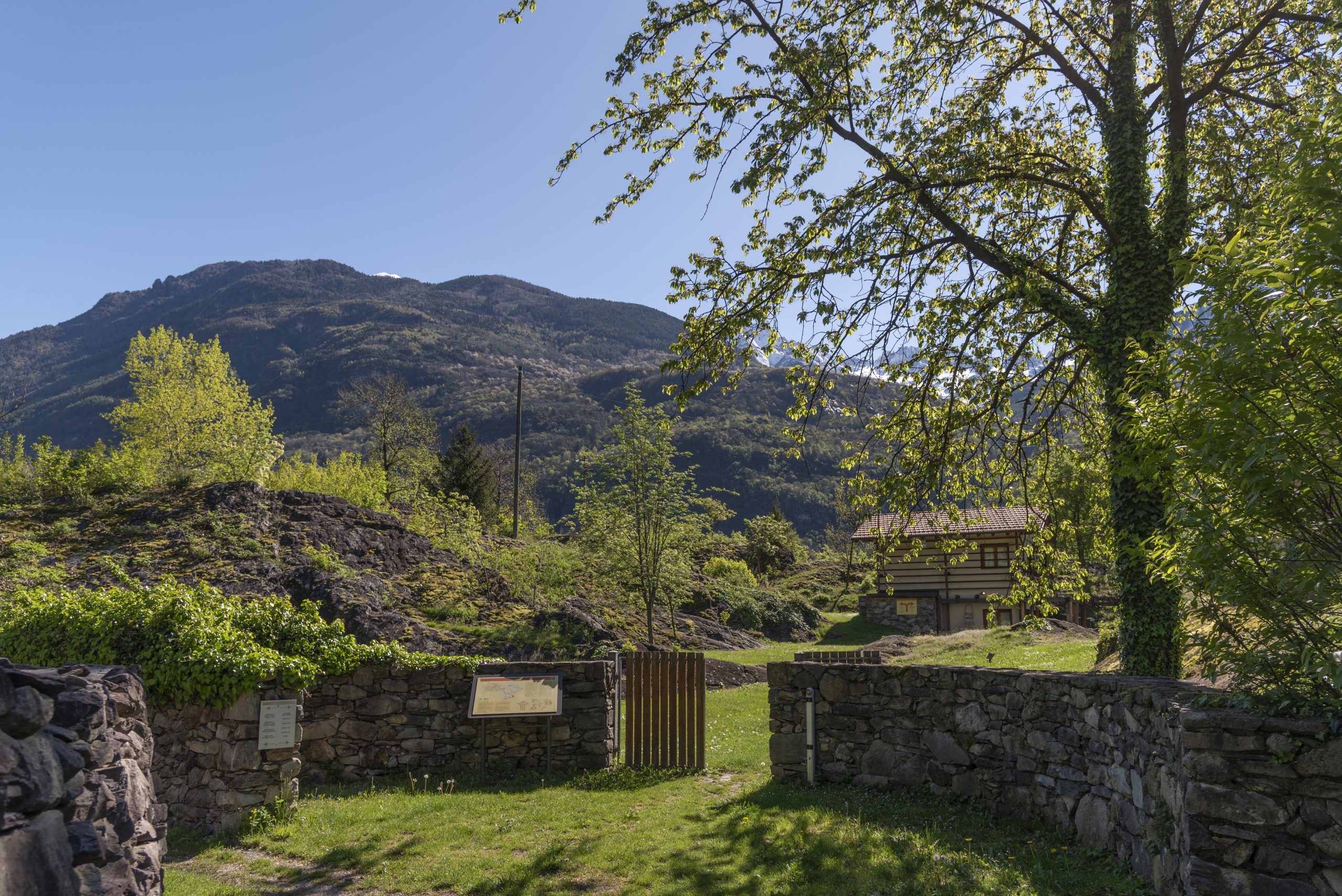
The Seradina-Bedolina Municipal Archaeological Park is one of the largest and most fascinating rock art parks in the Camonica Valley. Established in 2005, it extends along the western slope of Capo di Ponte, at an altitude of between 400 and 600 metres, within the UNESCO World Heritage Site.
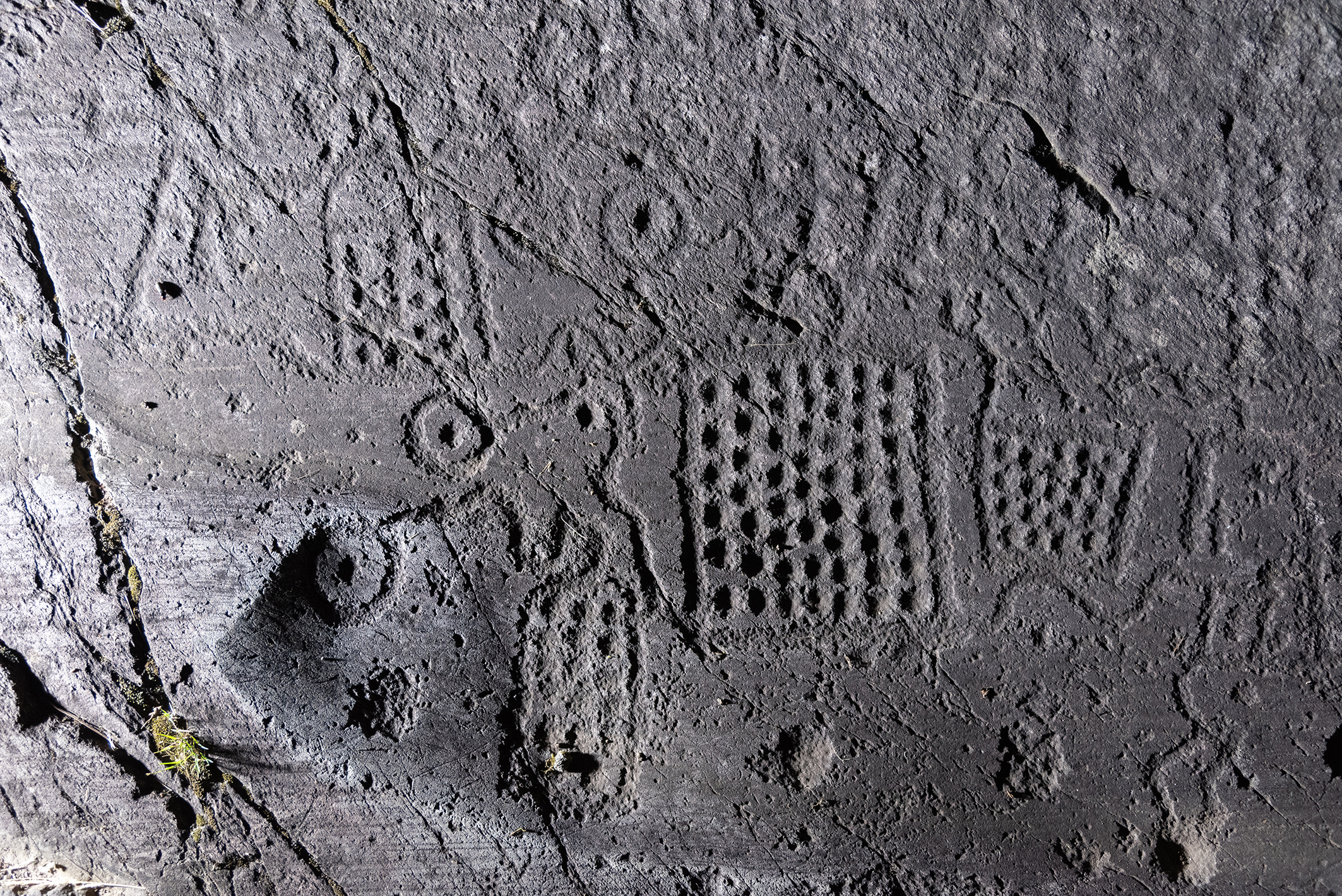
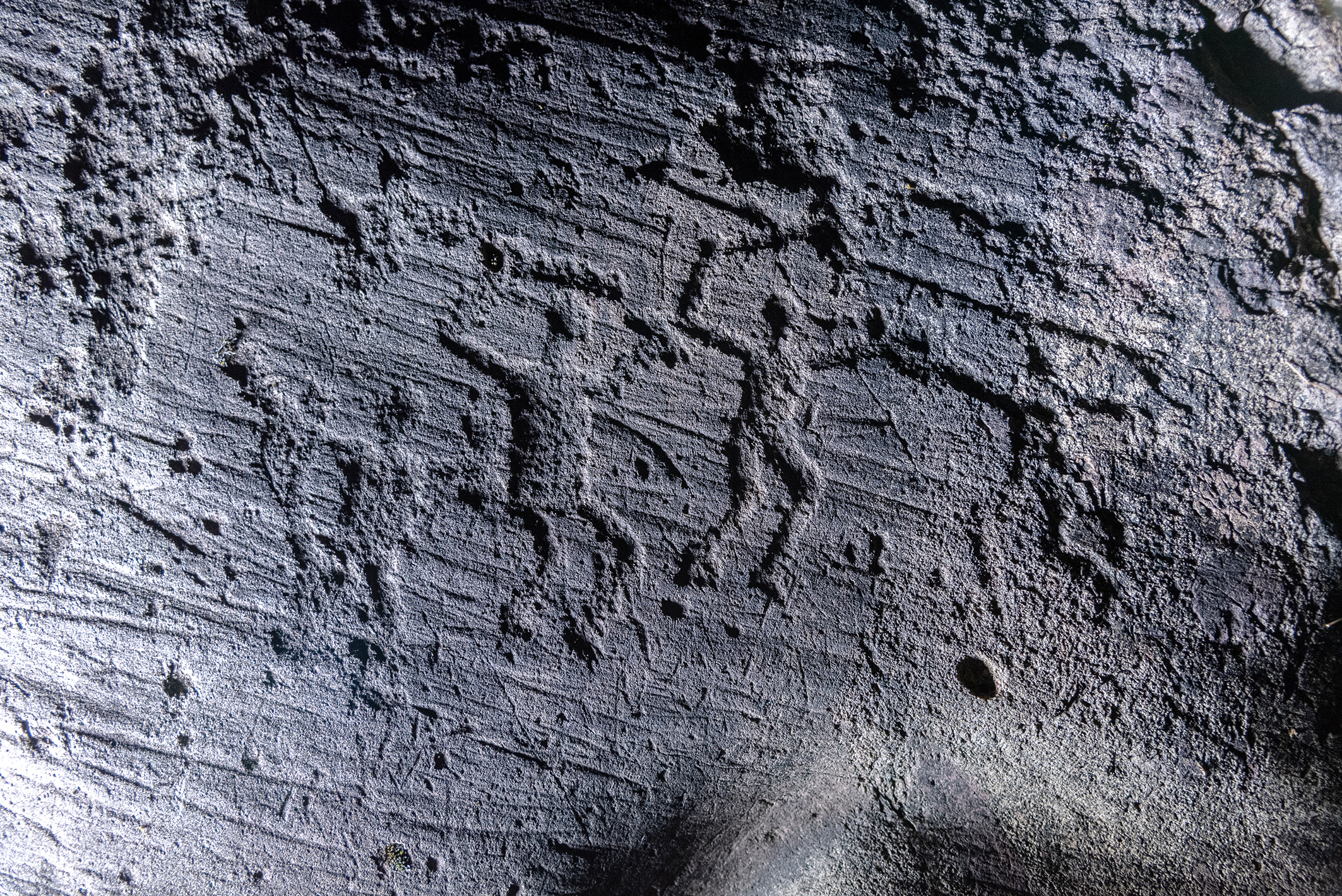
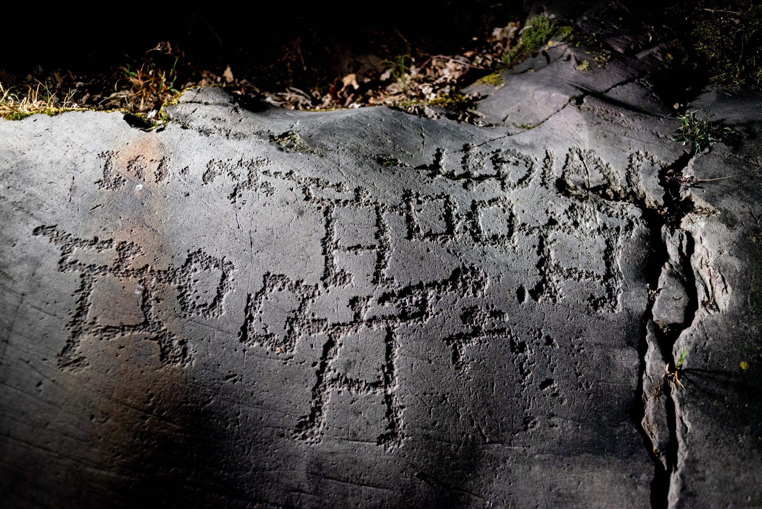
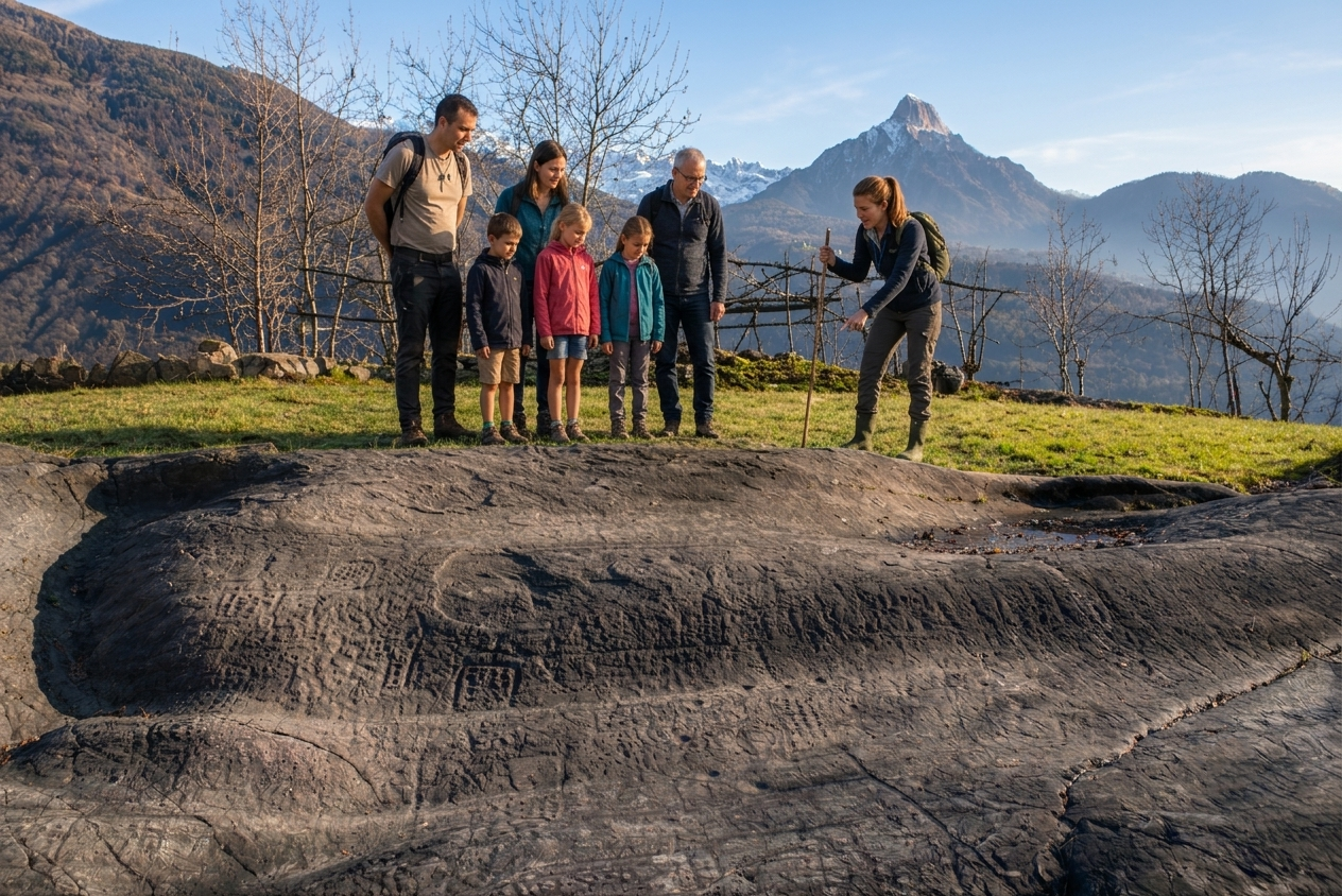
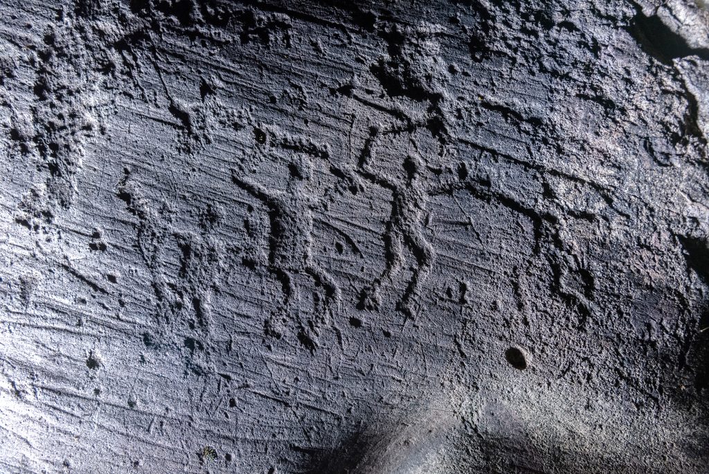
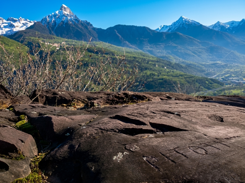
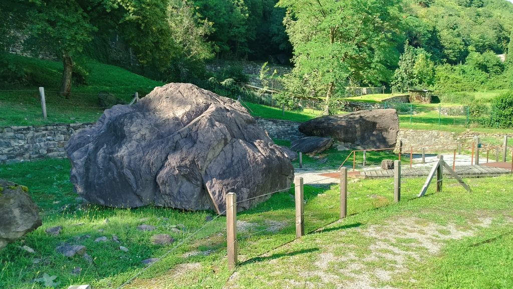
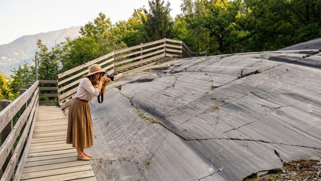
Here, the landscape becomes a story: more than 170 engraved rocks guide visitors along trails immersed in nature, bearing witness to millennia of history, from theBronze Age (2nd millennium BC) to the Iron Age (1st millennium BC). The engravings depict warriors, animals, ploughing scenes, huts and mysterious symbols, offering a continuous narrative of the life and beliefs of ancient Alpine populations.
The monumental area is divided into two distinct geographical sections, connected by a scenic walking trail:
– Seradina (430 m above sea level): the lower section, located along the ancient “Strada della Greppa”, which led to the “Dosso di Seradina” and continued towards Sellero. Its name is historically associated with the presence of oak woods (“cerreto”).
– Bedolina (530 m above sea level): the upper section, whose ancient place names were “Sassiner” and “Zanicai”. The more recent name refers to the presence of a small birch tree (“bedola”).
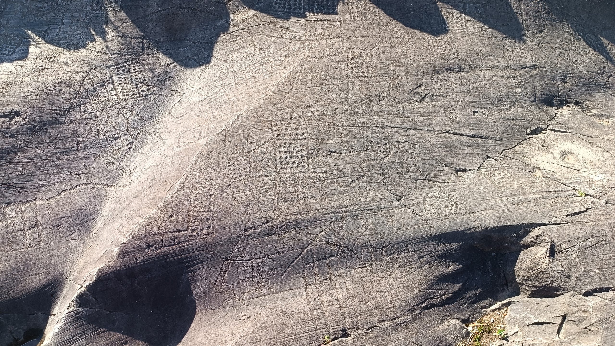
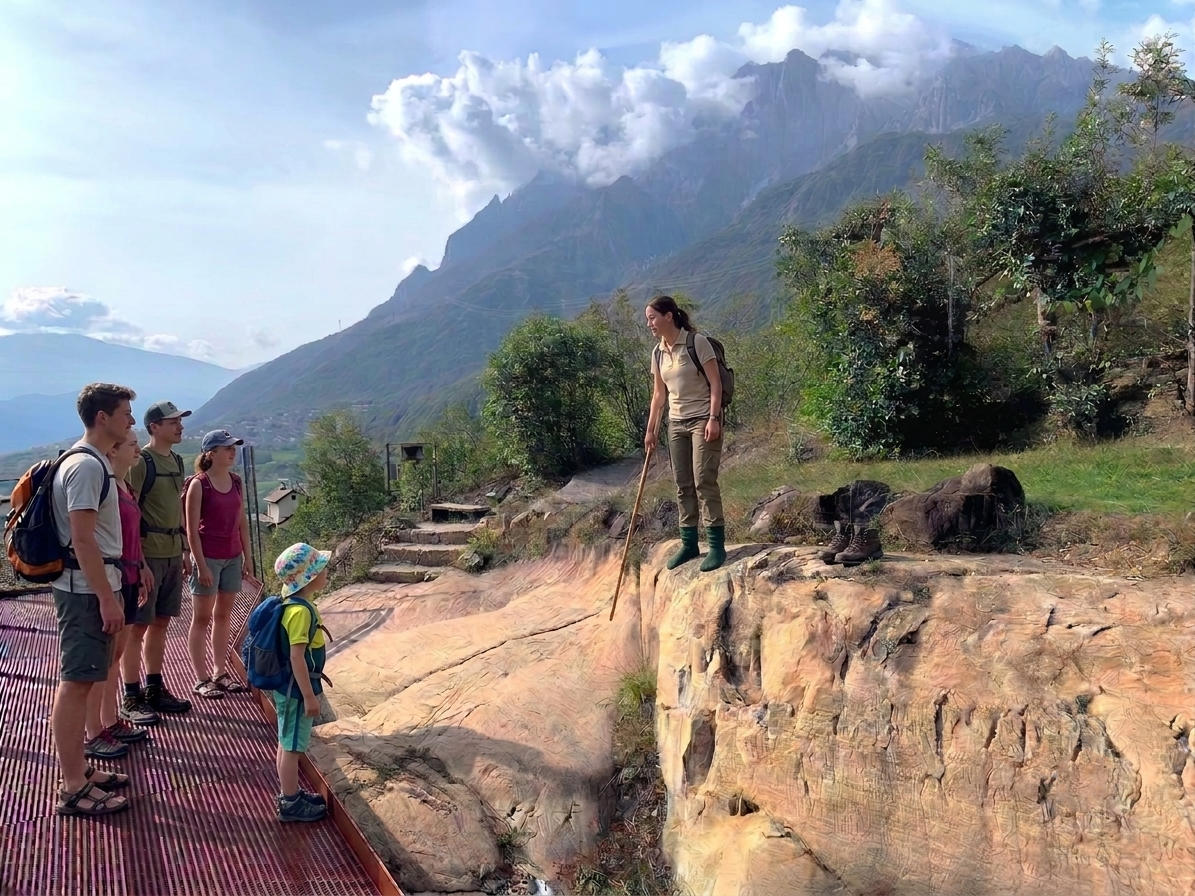
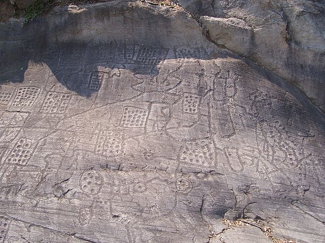
 Il The park is organised into several areas and five themed trails (orange, red, green, blue and brown), which are easy to explore and vary in length. Among the most significant sites are Seradina Rock 12, renowned for its numerous depictions of duelling and hunting scenes, and the Bedolina plateau, home to the extraordinary Bedolina Map: a complex engraving interpreted as one of the earliest known topographical representations of the surrounding landscape.
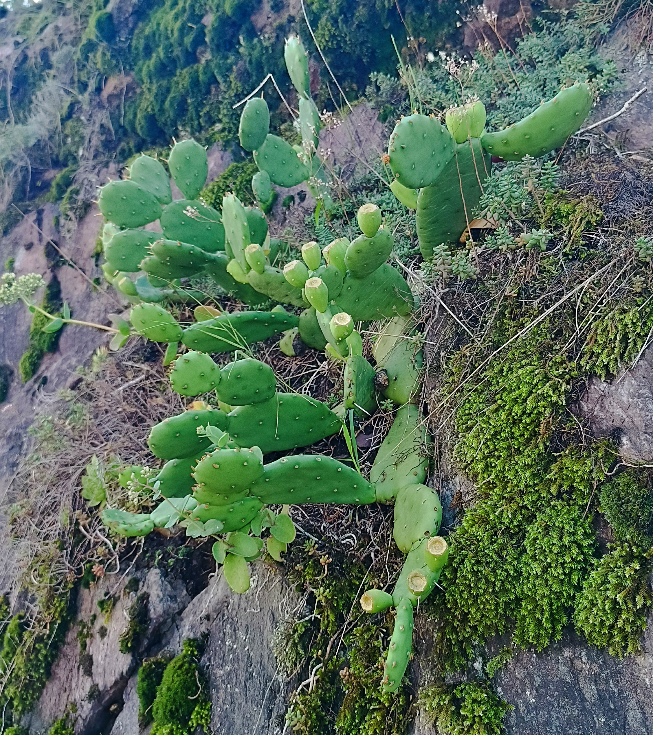
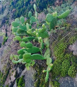
The experience is further enhanced by the area’s outstanding natural scenery: the park enjoys a panoramic position between Pizzo Badile Camuno and Concarena. Thanks to its sunny exposure, the area benefits from a unique microclimate, which supports plant species rarely found in Alpine environments. The favourable sun exposure of the slope creates exceptional microclimatic conditions that encourage a remarkable variety of flora, including Mediterranean plant species such as… Opuntia compressa (the dwarf prickly pear cactus).
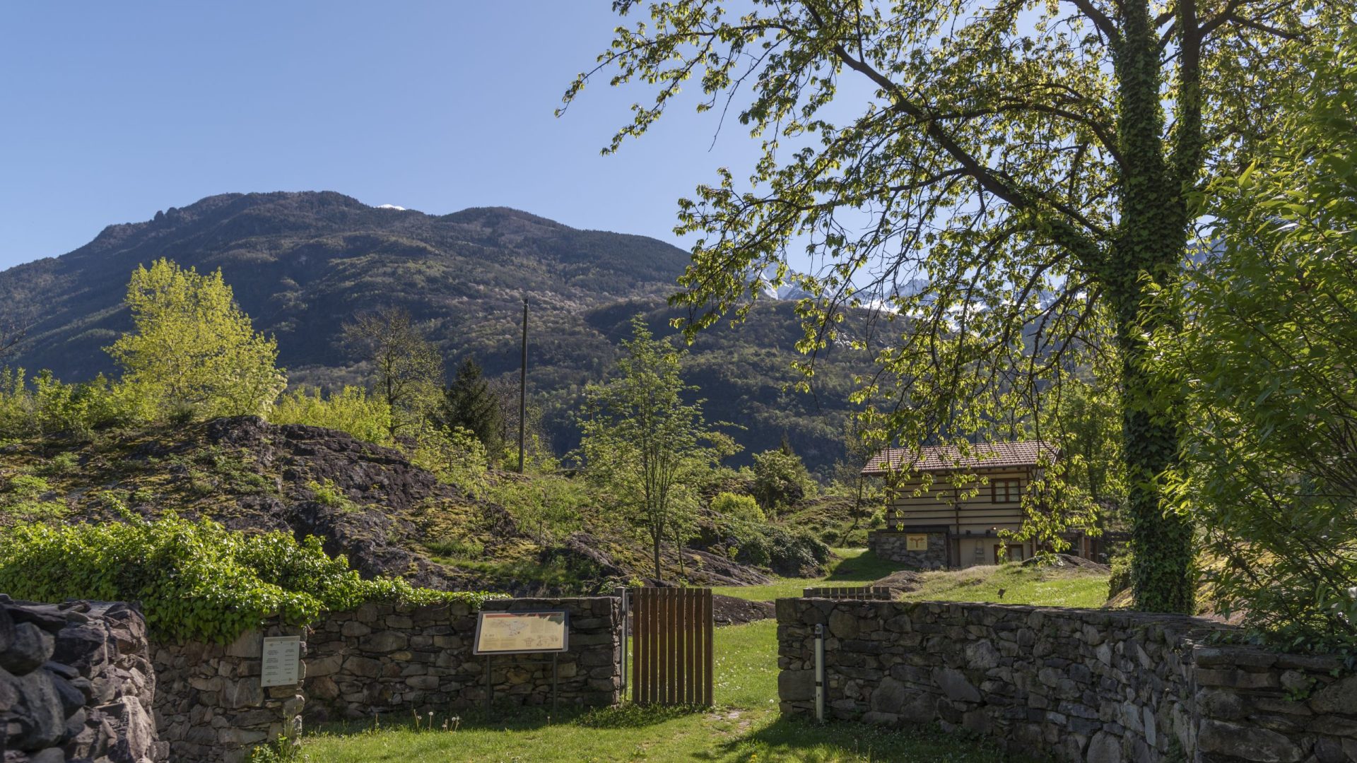
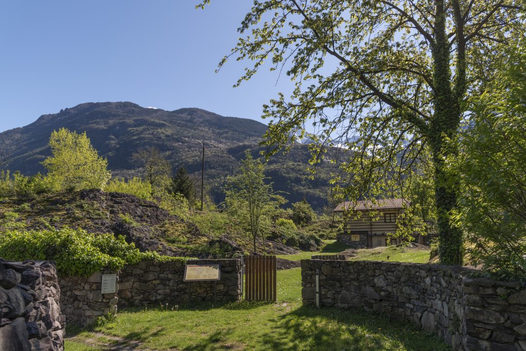
Located in the restored premises of the “Cascina Vecchia”, near the entrance to the park, the permanent exhibition pays tribute to Battista Maffessoli (1929–2006), a pioneer of research and a passionate enthusiast of Camunian rock art.The exhibition offers visitors a journey through the history of local archaeology, featuring 70 original plaster castsdating back to the first half of the 20th century, created to document and faithfully reproduce the rock engravings.
The collection also includes a rich personal historical archive, comprising correspondence, period photographs, original documents and publications that recount the early stages of exploration in the Camonica Valley.
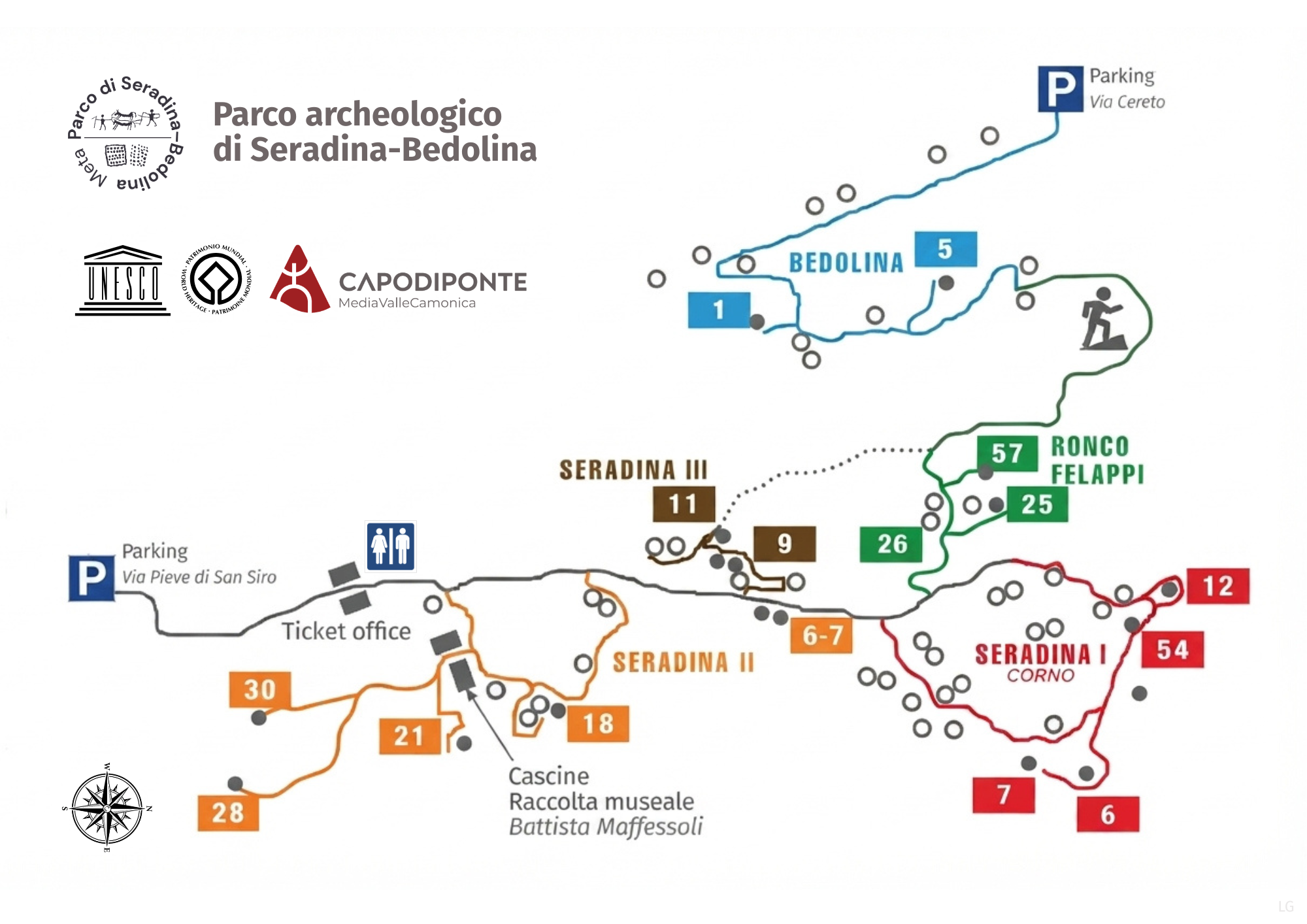
This section of the Park, also known as Seradina II, is rich in rock engravings dating mainly from the Iron Age (1st millennium BC).
This section, also known as Seradina III, is located uphill from the road and can be reached via a short flight of steps.
Circular trail around the hill («Corno»), where archaeological evidence dating back to the 2nd millennium BC has been discovered.
This section, also known as Ronco Felappi, is crossed by an uphill trail connecting it to the Bedolina area (15 minutes).
→ Scopri di più
→ Scopri di più
→ Scopri di più

→ Scopri di più
→ Scopri di più

→ Scopri di più
→ Scopri di più
→ Scopri di più
→ Scopri di più